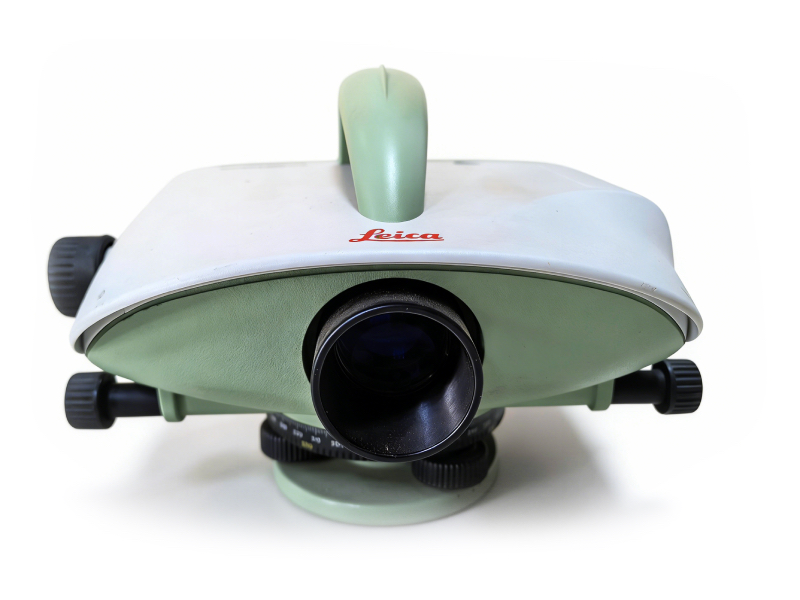
Used Leica DNA03 High-Precision Digital Level | 0.3mm/km First-Order Accuracy
Product Overview
| |
Key Features & Benefits
Industry-Leading Accuracy: ±0.3mm/km standard deviation for 1km double-run leveling, compliant with first-order leveling specifications, ideal for high-precision measurement projects
Fully Automatic Electronic Measurement: Auto-reading of barcode leveling staff, auto-recording of measurement data, eliminating manual reading errors and reducing on-site operation time
Robust Industrial Design: IP54 rated dust and water protection, wide operating temperature range, adapted to harsh outdoor field conditions across Europe
Integrated Data Management: Built-in data storage, supports data export and professional post-processing software, compatible with Leica’s surveying data workflow
Cost-Effective Pre-Owned Unit: All our used Leica DNA03 units have passed full functional testing, calibration, and performance verification, ensuring the same measurement accuracy as new units at a lower investment cost
 |
 |
Detailed Technical Specifications
| Parameter | Specification |
|---|---|
| Model | Leica DNA03 Digital Level |
| Standard Deviation (1km Double Run) | ±0.3mm/km (with certified barcode invar staff) |
| Magnification | 24x |
| Minimum Focus Distance | 0.6m |
| Measuring Range | 1.5m to 100m |
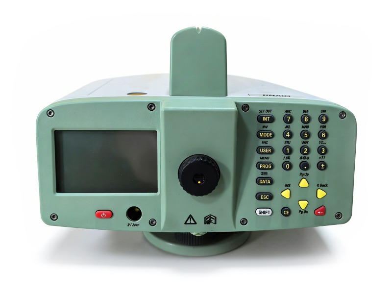
| Display | Graphic LCD display with backlight |
| Data Storage | Internal memory for up to 10,000 measurement points |
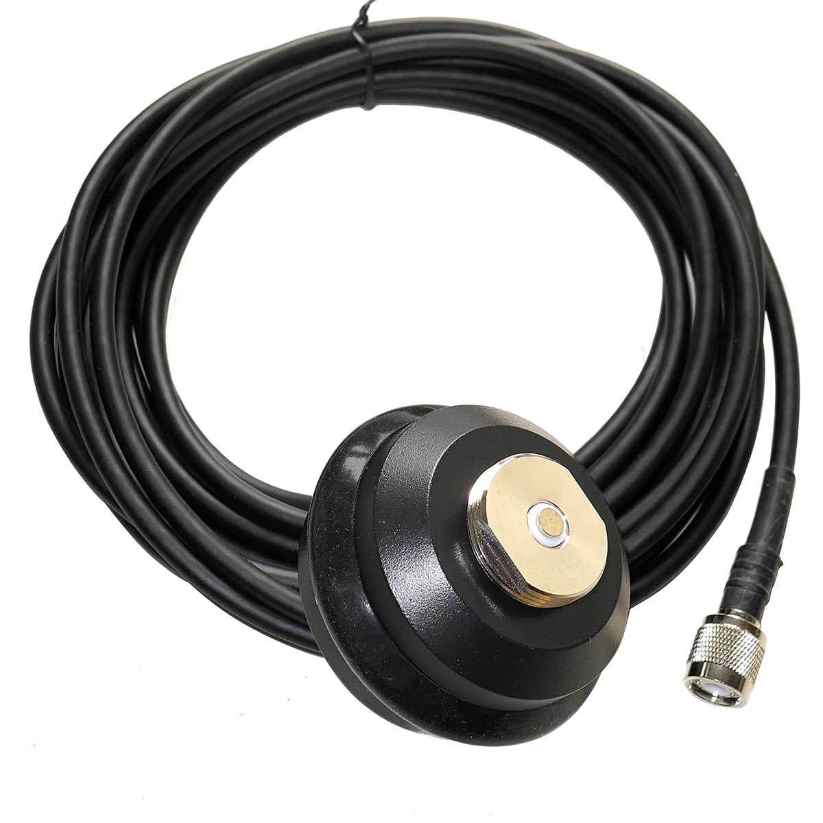
| Interface | RS-232 serial port for data transfer |
| Operating Temperature | -20°C to +50°C |
| Protection Rating | IP54 (dust and water resistant) |
| Power Supply | Rechargeable NiMH battery pack, up to 20 hours of continuous operation |
Typical Applications
High-precision geodetic leveling and national height network establishment
Structural settlement monitoring for buildings, bridges, dams, and railways
Civil engineering and construction site elevation control
Topographic surveying and land development projects
Deformation monitoring for critical infrastructure
Industrial metrology and precision alignment