rimble BD990 GNSS Receiver Module – High-Precision Positioning for Professional Surveying & Automation
Overview
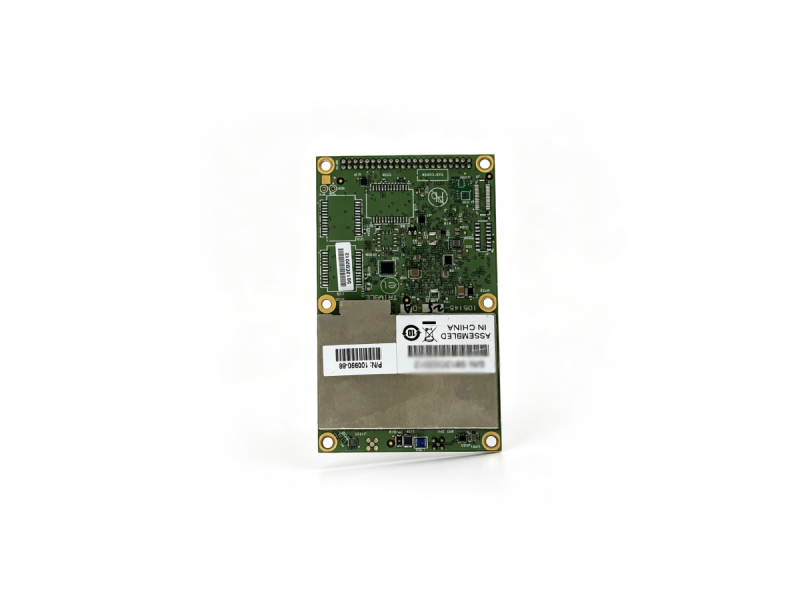
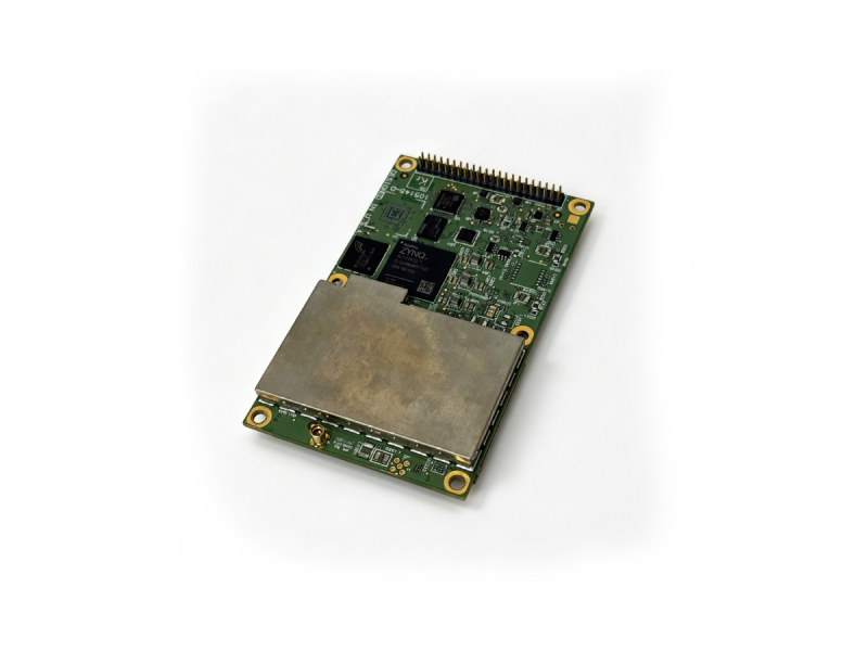
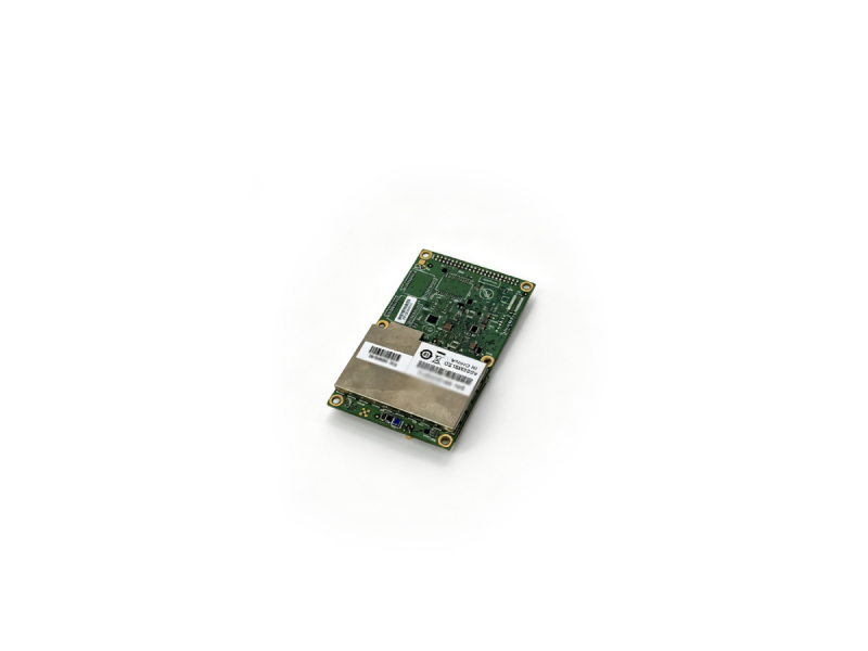
The Trimble BD990 is a top-tier OEM GNSS receiver module powered by Trimble Maxwell 7 technology, designed for centimeter-level positioning in surveying, robotics, autonomous driving, and industrial automation. With 336 tracking channels and full multi-constellation support, it delivers exceptional accuracy, reliability, and flexibility for integration into diverse systems.
|
 |
 |
Key Features
- Maxwell 7 Technology – Advanced GNSS processing for maximum performance
- 336 Tracking Channels – Supports GPS, GLONASS, BeiDou, Galileo, IRNSS, QZSS, SBAS
- RTK Precision – Horizontal 0.008 m +1 ppm, Vertical 0.015 m +1 ppm
- Multi-Frequency & Multi-Constellation – L1/L2/L5, B1/B2/B3, E1/E5/E6, etc.
- Compact & Lightweight – 100×60×11.6 mm, 54 gTrimble Inc.
- Low Power – 3.3 V DC, typical 1.5–2.35 WTrimble Inc.
- Rich Interfaces – USB 2.0, Ethernet, RS-232, CAN (optional), Event portsTrimble Inc.
- Global Services – Trimble RTX, OmniSTAR (L-Band)
- Industrial-Grade Environment – -40°C to +75°C, MIL-STD-810F vibration
Technical Specifications
| Parameter | Value |
|---|---|
| Model | Trimble BD990 |
| Technology | Maxwell 7 |
| Tracking Channels | 336 |
| Supported Constellations | GPS, GLONASS, BeiDou, Galileo, IRNSS, QZSS, SBAS |
| RTK Accuracy (Horizontal) | 0.008 m +1 ppm |
| RTK Accuracy (Vertical) | 0.015 m +1 ppm |
| DGNSS Accuracy | H:0.25 m+1 ppm; V:0.50 m+1 ppm |
| SBAS Accuracy | H:0.50 m; V:0.85 m |
| RTK Initialization Time | <8 s (typical) |
| Initialization Reliability | >99.9% |
| TTFF Cold Start | <45 s |
| Signal Reacquisition | <2 s |
| Dimensions | 100 × 60 × 11.6 mmTrimble Inc. |
| Weight | 54 gTrimble Inc. |
| Power Supply | 3.3 V DC ±5%/–3%Trimble Inc. |
| Operating Temperature | -40°C to +75°C |
| Vibration | MIL-STD-810F, 6.2 gRMS (operating) |
Applications
- Professional land surveying & geodetic projects
- Autonomous vehicles & UAVs
- Machine control & precision agriculture
- Robotics & industrial automation
- CORS stations & reference networks
- Maritime & construction positioning