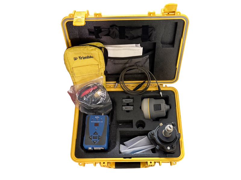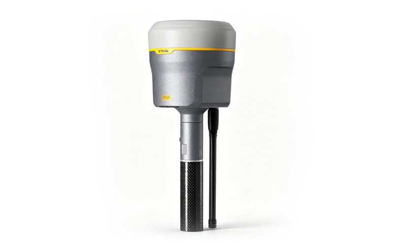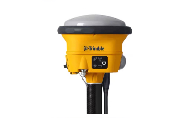
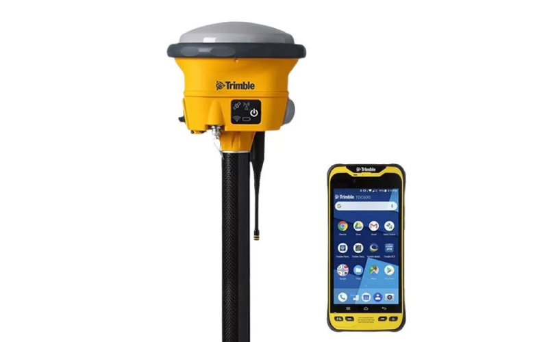
Trimble R780 GNSS Receiver – Used Premium for Geophysical Survey
The Trimble R780 is a high-performance GNSS receiver designed for precise geophysical survey, exploration, and construction layout. As a trusted supplier of used geophysical equipment, we offer this refurbished R780 in excellent working condition, delivering professional-grade accuracy and reliability at a competitive price.
|
 |
 |
Key Technical Specifications
- Brand/Model: Trimble R780
- GNSS Channels: 672 (Maxwell 7 ASIC)Trimble Geospatial
- Constellations: GPS, GLONASS, Galileo, BeiDou, QZSS, IRNSS
- Static Accuracy: Horizontal 3 mm + 0.5 ppm RMS; Vertical 5 mm + 0.5 ppm RMS
- RTK Accuracy: Horizontal 8 mm + 1 ppm RMS; Vertical 15 mm + 1 ppm RMS (Single Baseline <30 km)
- TIP Technology: Tilt compensation up to 30°; Horizontal RTK +8 mm +0.5 mm/° tilt RMS
- RTX Correction: CenterPoint RTX (2 cm horizontal / 3 cm vertical RMS)
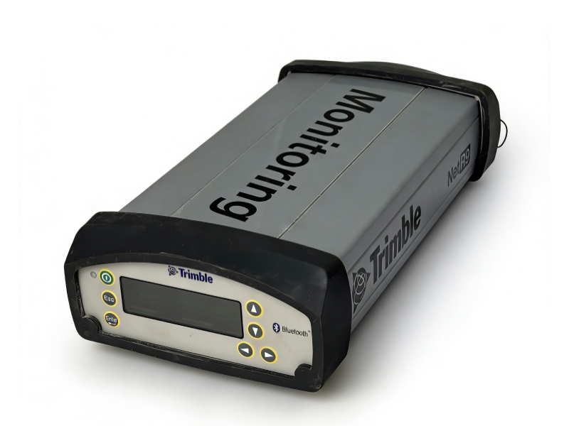
- Radio: Dual-band UHF (450/900 MHz), integrated transmit/receiveTrimble Geospatial
- Ruggedness: IP68 dust/waterproof; MIL-STD-810G shock/vibration resistantTrimble Geospatial
- Operating Temperature: -40°C to +65°C
- Configuration: Base, rover, or base-rover comboTrimble Geospatial
Brief Operation Guide
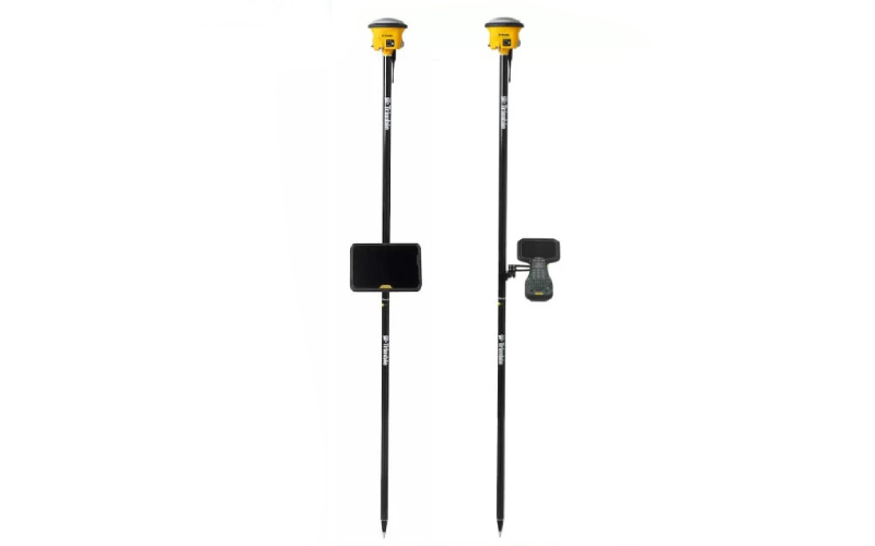
- Setup: Mount the R780 on a survey pole; power on via rechargeable battery (12-hour runtime).
- GNSS Tracking: The receiver automatically tracks all available satellite constellations for robust positioning.
- RTK Survey: Connect to a base station or network RTK; achieve fix in 2-8 seconds for real-time precise measurements.
- Tilt Compensation: Enable TIP technology to survey without leveling the pole (up to 30° tilt), ideal for hard-to-reach areasTrimble Geospatial.
- Data Management: Sync with Trimble FieldLink software for data logging, stakeout, and post-processing.
Why Choose Our Used Trimble R780?
- Cost Savings: 30-50% lower than new units, with full functionality.
- Reliability: Professionally inspected, calibrated, and refurbished by geophysical equipment experts.
- Warranty: 3-month warranty for parts and labor; lifetime technical support.
- Application: Perfect for geophysical exploration, mining survey, construction layout, and environmental monitoring.