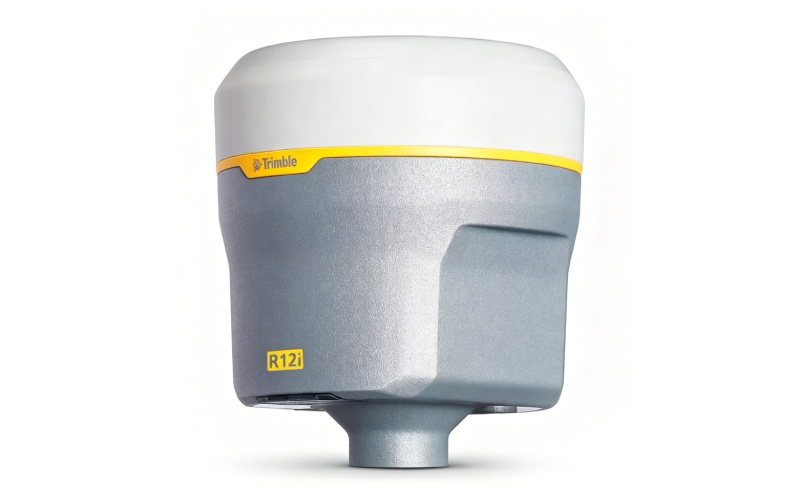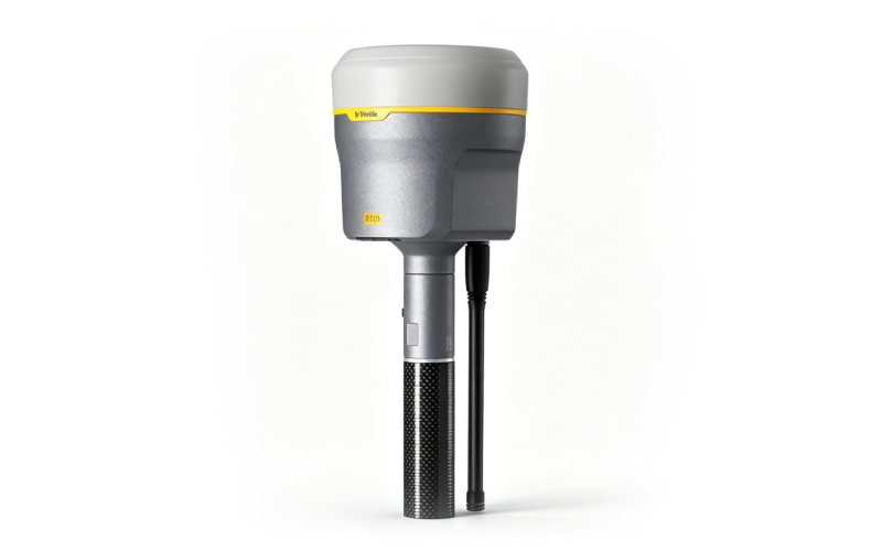
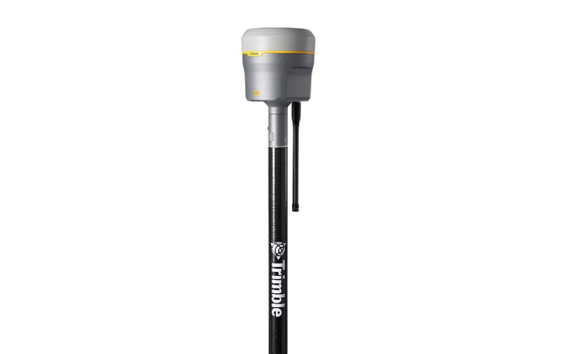
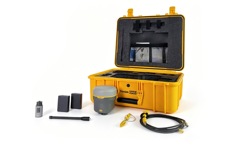
Trimble R980 GNSS Receiver – Used, High Precision for Geophysics & Surveying
Overview
The Trimble R980 is a top-tier GNSS receiver designed for ultra-precise positioning in geophysics, land surveying, construction, and engineering projectsTrimble Geospatial. This used unit is fully calibrated, tested, and in excellent working condition, delivering professional-grade performance at a competitive price.

Key Specifications
| Parameter | Details |
|---|---|
| Brand/Model | Trimble R980 GNSS ReceiverTrimble Geospatial |
| Static Accuracy (Horizontal) | 3 mm + 0.1 ppm RMS (High-Precision) |
| Static Accuracy (Vertical) | 3.5 mm + 0.4 ppm RMS (High-Precision) |
| RTK Accuracy (Horizontal) | 8 mm + 1 ppm RMS |
| RTK Accuracy (Vertical) | 15 mm + 1 ppm RMS |
| TIP Compensation | RTK: +3 mm + 0.15 mm/° tilt (up to 30°)Trimble Geospatial |
| Constellations Supported | GPS, GLONASS, Galileo, BeiDou, QZSS, NavIC |
| Connectivity | Dual-band UHF radio (450/900MHz), 4G LTE, Bluetooth, Wi-Fi |
| Protection Class | IP67 (dustproof & waterproof) |
| Update Rate | 20 Hz |
| Internal Memory | 9.5 GB |
| Battery | Removable smart Li-ion battery |
 |
|
 |
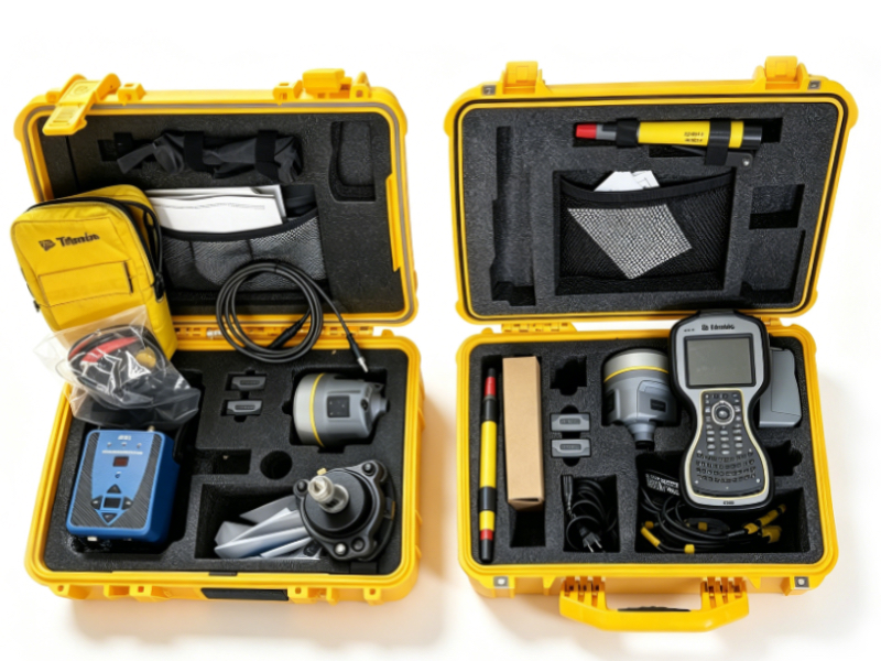
Brief User Guide
- Power On/Off: Press and hold the power key for 2 seconds to turn on; repeat to turn off. LED indicators show power, radio, Wi-Fi, and satellite status.
- Satellite Tracking: Place the receiver in an open area with a clear sky view. It will automatically track available GNSS constellations (GPS, Galileo, BeiDou, etc.).
- RTK & TIP Setup: Connect to a base station or VRS network for RTK corrections. Activate TIP tilt compensation to measure points without leveling the pole (up to 30° tilt)Trimble Geospatial.
- Data Logging: Internal 9.5 GB memory stores survey data. Transfer files via USB, Wi-Fi, or Bluetooth for post-processing.
- Maintenance: Keep the IP67-rated unit clean and dry. Charge the Li-ion battery regularly and store in a cool, dry place when not in use.
Why Choose Our Used Trimble R980?
- Cost Savings: Get high-end Trimble performance at a fraction of the new price.
- Reliability: Fully inspected, calibrated, and tested to meet factory specifications.
- Versatility: Ideal for geophysical exploration, land surveying, construction layout, and precision mappingTrimble Geospatial.
- Support: Our team provides technical assistance and after-sales support for your peace of mind.